St. Croix 360 River Goods
The St. Croix Valley Map
The St. Croix Valley Map
Couldn't load pickup availability
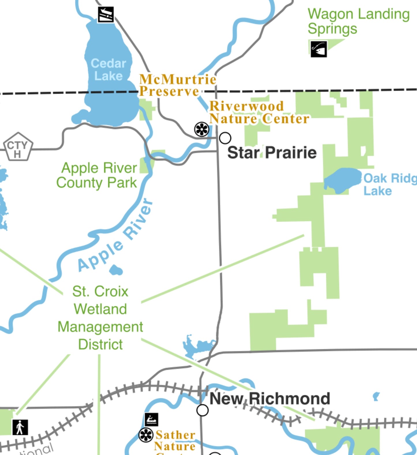
Explore the lost lakes, historic sites, points of interest, and public lands of the lower St. Croix River Valley with this custom map, exclusively available from St. Croix 360 River Goods.
Produced by Greg Seitz, the St. Croix Valley Map covers the watershed from St. Croix Falls and Taylors Falls — including the Interstate Parks — to Prescott and the Mississippi River.
The heavy-duty laminated version is perfect for keeping around the house — we put ours on the refrigerator — for family adventure planning. An alternate version is printed on high-quality paper stock and is appropriate for framing and hanging on the wall of your house or cabin.
Great gifts, perfect for display in rental properties and hotels, order a few for friends!