St. Croix 360 River Goods
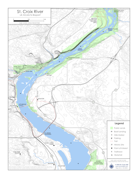
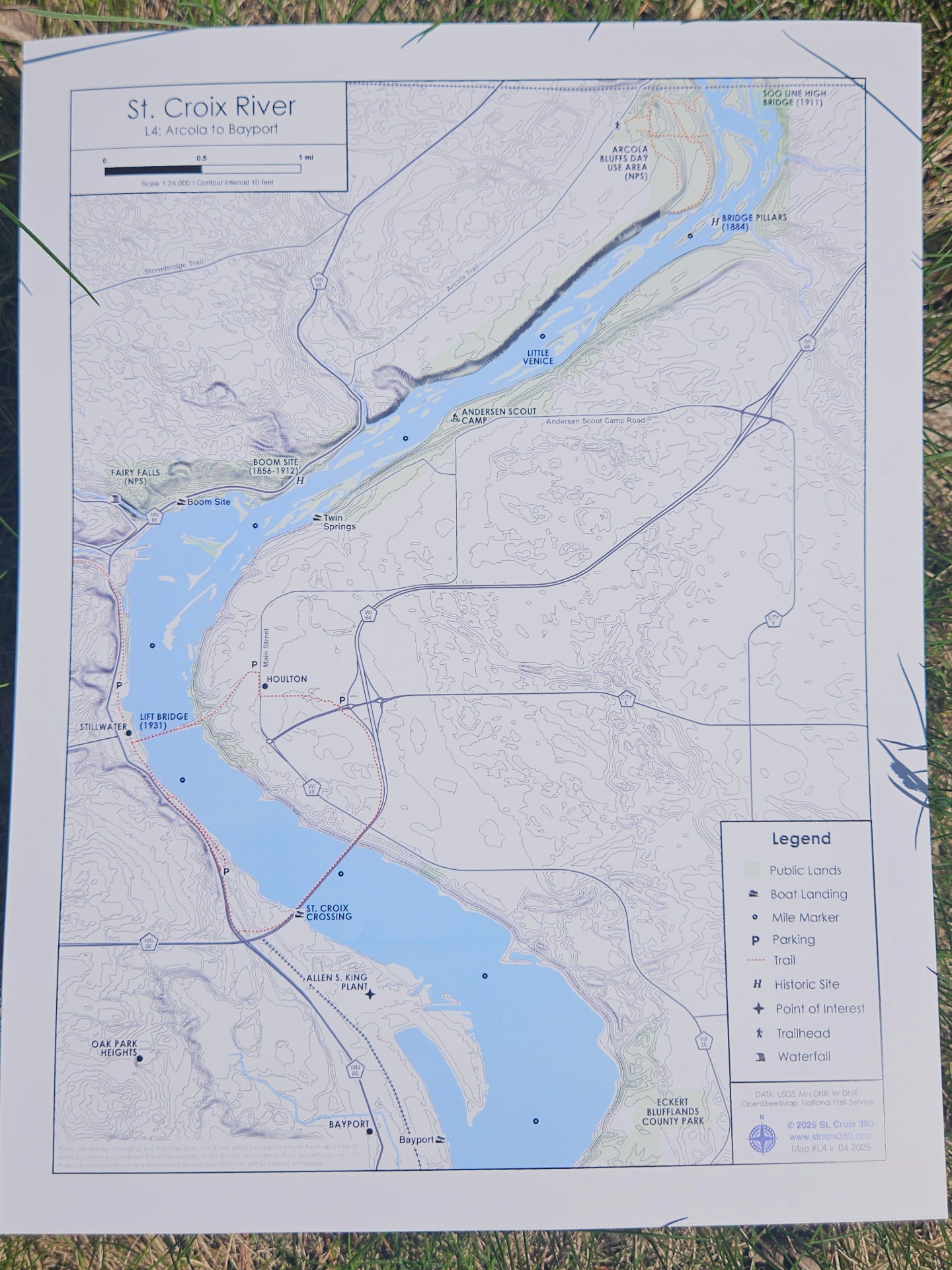
River Map: Arcola to Bayport
River Map: Arcola to Bayport
Couldn't load pickup availability
St. Croix 360’s popular maps of the St. Croix River have been updated and improved just in time for summer! Order now to get yours in time for summer adventures.
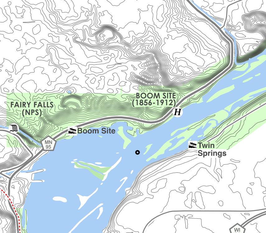
Since releasing the first version of our river maps more than two years ago, they have been almost completely redesigned to contain more information while being easier to read than ever.
Features:
- Printed on durable, waterproof synthetic paper
- Topographic lines show elevation contours of the river valley
Public lands include state parks and nature preserves - We have also slightly increased the scale of the maps, meaning they are more “zoomed in,” providing a higher level of detail.
- Other details included:
- Boat landings
- Campgrounds
- Historic sites
- Hiking trails
- Major roads and bridges
- And much more
Providing more detail has also allowed us to shift the stretches of river covered by each map, made room for more information, and allowed us to extend coverage a few more miles downstream.
St. Croix 360’s River Maps are unique and the only place to buy them is our online store. They are printed and shipped from right here in the St. Croix Valley.
Rivers are always changing, but these map does not. Every effort is made to ensure these maps are free of errors but there is no warrant they are either spatially or temporally accurate or fit for a particular use. These maps are provided without any warranty of any kind whatsoever, either express or implied.