Collection: Topographic Art
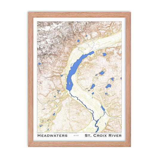
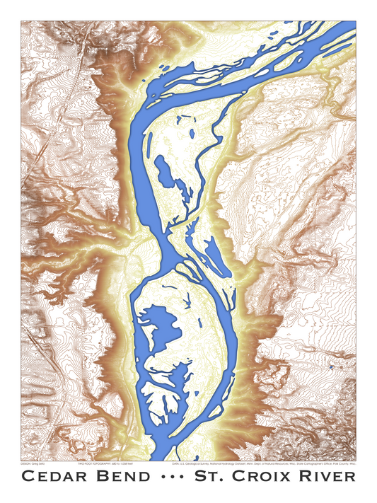
The St. Croix River has been cutting through the earth for twelve thousand years or so. The relentless flow of water always finds its way downhill, whether it goes around or through obstacles.
When you walk or drive in the St. Croix Valley, you cross a surface created by the river. The bluffs were once the banks. In some places where the river sliced sandstone and limestone, it intersected an aquifer and groundwater now pours forth. Ravines slice through bedrock, carrying spring-fed creeks and upland runoff swiftly to the river, gravity always gathering the water and bringing it home.
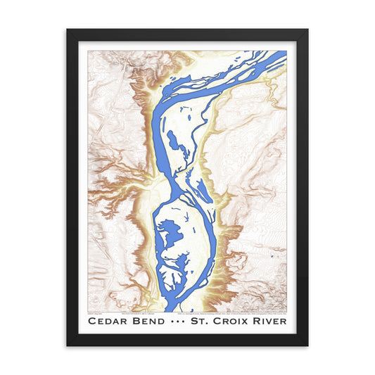
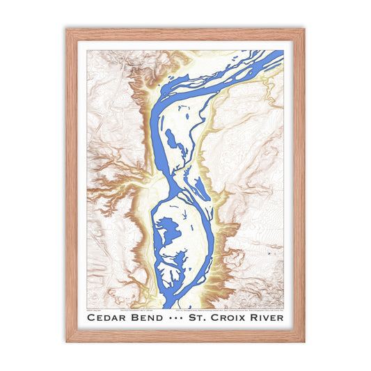
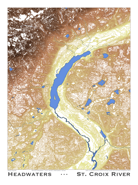
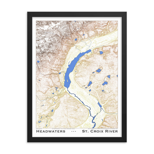
Today, these details of topography are more evident than ever. The governments of Minnesota and Wisconsin have in recent years gathered two-foot elevation data across their respective states. Ten-foot contours were once the norm, but nowadays, a new level of granularity lets you really see the forces of water.
It makes for beautiful images. I can stare at a section of river and its two-foot topography for way too long, reading a story of time, water, and physics. After tinkering with the maps for a couple years, I’ve come up with prints I’m proud to share. The two posters currently available feature some of the most fascinating landscapes along the river.
If you also love these intricate images and the landscape they represent, prints are now available for sale in a variety of formats. All are 18 inches by 24 inches, printed on high-quality paper, with options for a frame or a simple wooden hangar.